Radiation Mapping Workshop
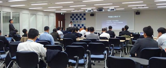
Since the accident at TEPCO's Fukushima Daiichi Nuclear Power Station, various radiation dose mapping systems have been developed and put into operation to determine the details of geographical contamination by radioactive materials scattered from the nuclear reactors. Currently, these systems are evolving into more detailed and efficient tools for understanding contamination conditions through the development of new technologies that go beyond mere two-dimensional plots of dose rates to include changes over time, spectral analysis, estimation of spatial distribution, and expansion of the range of measurable dose rates. In April 2012, about one year after the accident, a workshop on radiation dose mapping systems called the "KURAMA Workshop" was held with the participation of people involved in the development and operation of KURAMA, which was developed by the Kyoto University Research Reactor Institute. Since then, this workshop has been held continuously under a different name, bringing together people from universities, research institutes, companies, and government agencies involved in the development and operation of radiation dose mapping systems to exchange opinions on equipment fabrication techniques, detector characteristics analysis, and operational know-how, while introducing various case studies. As a result, information and awareness sharing is underway regarding technical issues, areas for improvement, and future development of the radiation dose map system.